- Teacher: Supun Siriwardana
සංකීර්ණ අවස්ථා වල දී, පුරාවිද්යාත්මක ස්ථාන පුරෝකථන විශ්ලේෂණය කිරීම සඳහා මෙන්ම ක්ෂේත්රයන් වෙත ආරක්ෂිත කලාප හඳුනාගැනීම සඳහා ද GIS භාවිතා කරයි. ත්රිමාණ භූමි ආකෘති නිර්මාණය සහ සාගර අගාධ මිතික ආකෘති නිර්මාණය බොහෝ ක්රියාකාරීත්වයන් සඳහා ප්රයෝජනවත් වේ. පුරාණ නගර, බලකොටු සහ විහාරාරාමයන් හි ත්රිමාණ ආකෘති නිර්මාණය තුළින් භූගෝලීය දත්ත දෘශ්යකරණය කිරීම ඔස්සේ පුරාවිද්යාත්මක සොයාගැනීම් සඳහා ප්රබල වටිනාකමක් ලබාදිය හැකි වෙයි.
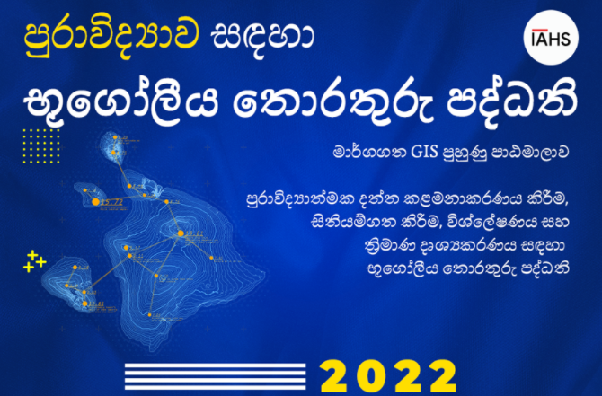
මෙම පාඨමාලාව තුළින් GIS හි මූලික කරුණු පිළිබඳ නිසි අවබෝධයක් ලබා දෙයි. ඵලදායී දත්ත එකතු කිරීමේ ක්රමවේදයන් ඉගෙනීම සඳහා GPS දත්ත එකතු කිරීම සහ එම දත්ත භාවිතය පිළිබඳව ඇතුළත් කර ඇත. සිතියම්ගත කිරීම වෙත ආරම්භයේ දී ම ප්රමුඛතාවය දී ඇතත් එයට වඩා වැඩි විශ්ලේෂණ හැකියාවන් එදිනෙදා භාවිත යෙදුම් ඔස්සේ සාකච්ඡා කරනු ඇත. නවීන භූ අවකාශීය ප්රවේශයන් ඵලදායී තොරතුරු නිරූපණ කාර්ය ප්රවාහයක් ලෙස ද සාකච්ඡා කෙරේ.
- Teacher: Supun Siriwardana

A geographic information system (GIS) can be used as a very effective tool for administrative purposes in the health sector. Through this course, health professionals can learn and apply GIS with their domain expertise knowledge as a problem-solving tool. It is also crucial for many decision-makers to obtain scientific decisions based on the geographical relationships with the health phenomenon, as GIS allows them to compare and analyze geographic data to find patterns. Thus, GIS for the Decision Makers in the Health Sector is a virtual training program created for the benefit of the health administrators for decision making
- Teacher: Supun Siriwardana
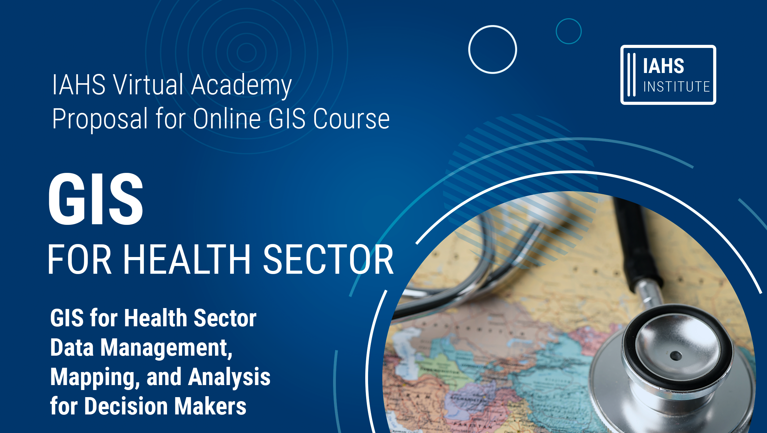
A geographic information system (GIS) can be used as a very effective tool for administrative purposes in the health sector. Through this course, health professionals can learn and apply GIS with their domain expertise knowledge as a problem-solving tool. It is also crucial for many decision-makers to obtain scientific decisions based on the geographical relationships with the health phenomenon, as GIS allows them to compare and analyze geographic data to find patterns. Thus, GIS for the Decision Makers in the Health Sector is a virtual training program created for the benefit of the health administrators for decision making.
- Teacher: Supun Siriwardana
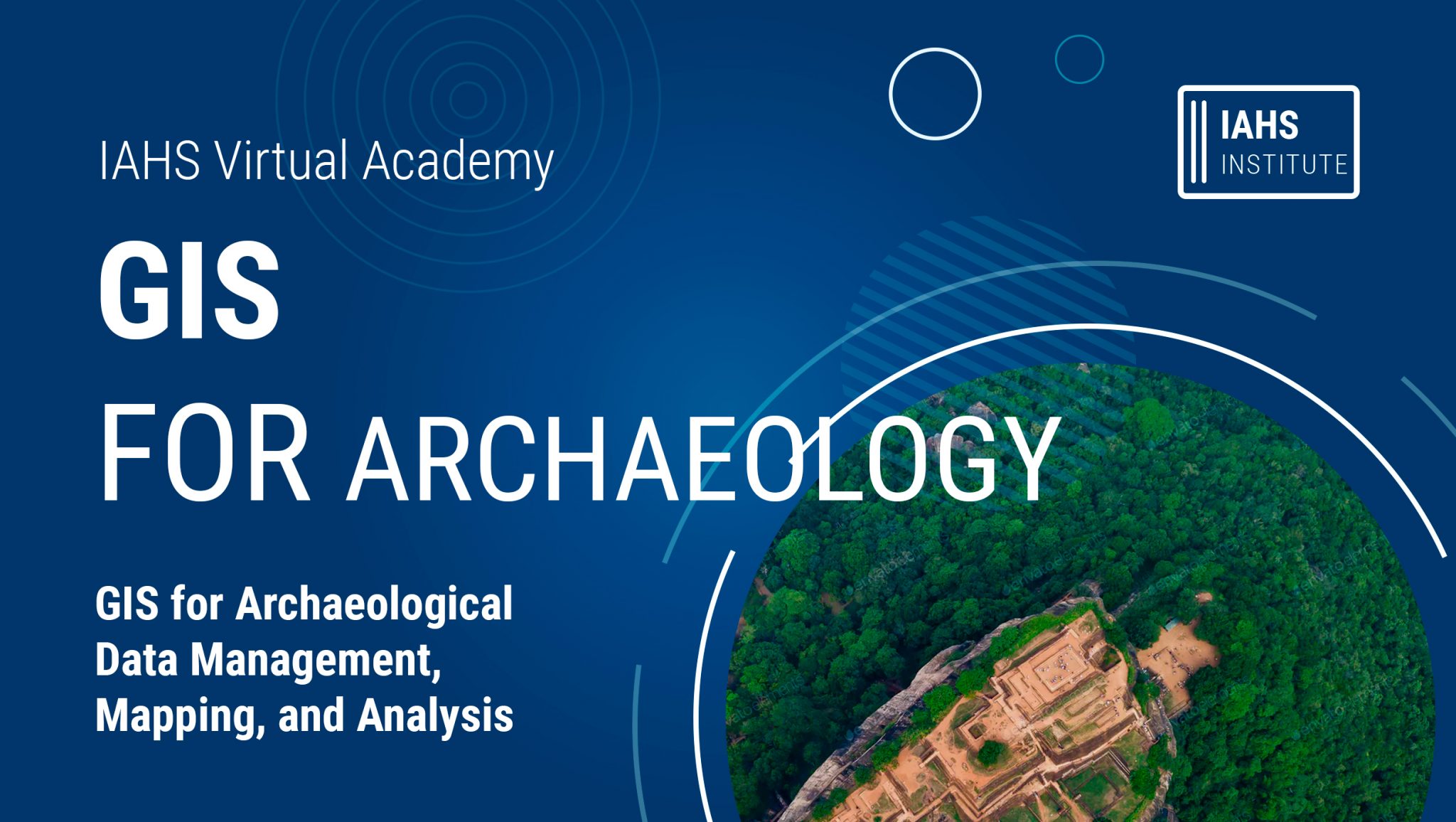
The ‘GIS for Archaeology’ course provides a proper understanding of the basics of GIS and provides an opportunity to learn effective GIS data collection techniques. Mapping was given priority at the outset, but more analytical capabilities will be discussed in everyday applications. As resource persons for this series of online lectures, we have joined hands with two experts with years of experience in the use of GIS in the field of archaeology in Sri Lanka.
- Teacher: Supun Siriwardana